Project: Map Everything on Our Grounds
by Eric Gonzalez-Payne
The driving question
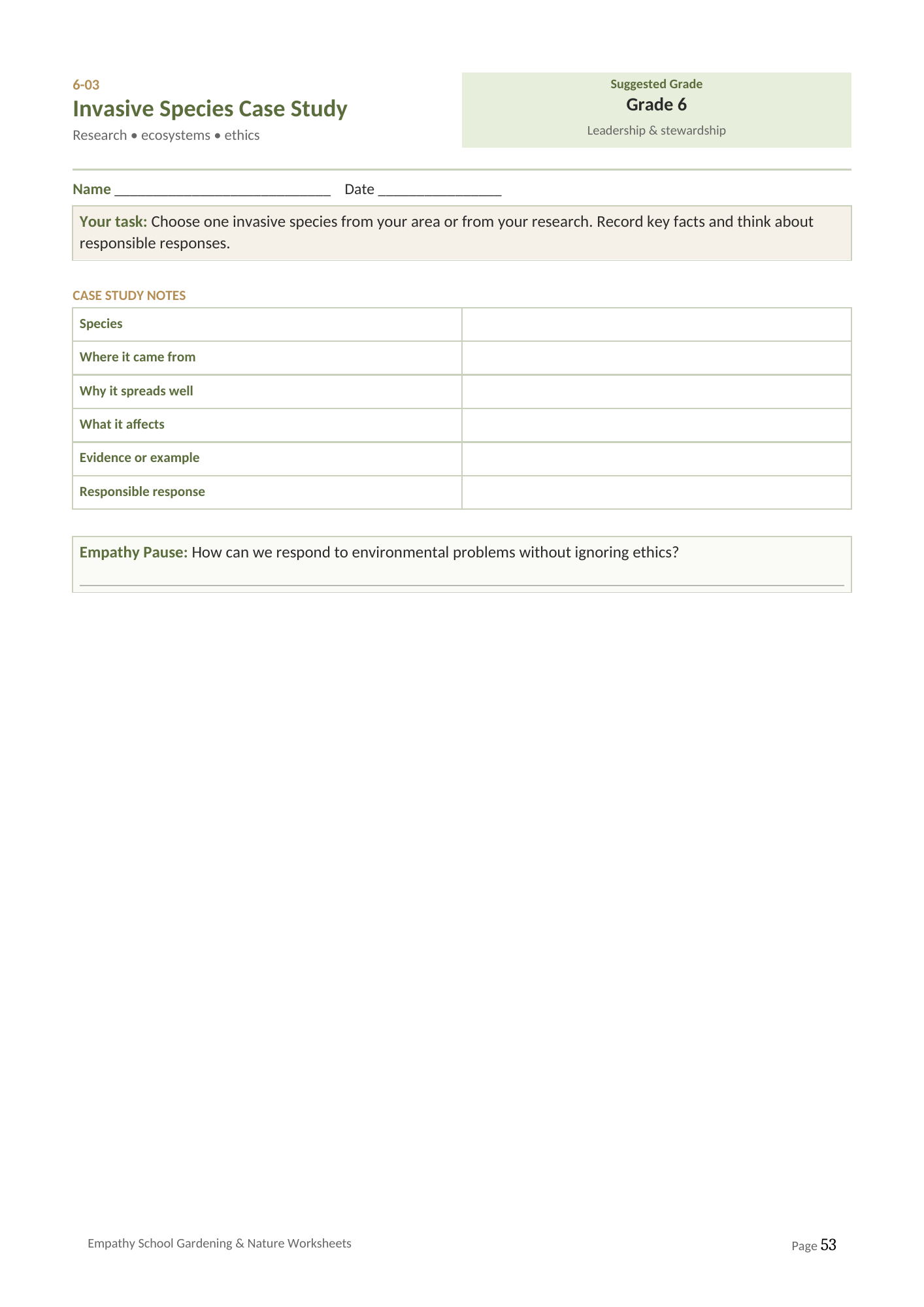
What is actually growing here, and could a stranger find it from our map.
Why this one works
Almost no school knows what is on its own grounds. The output is genuinely useful, it involves every subject, and the test at the end is objective: give the map to somebody who was not involved and see whether they can find things.
How it runs
Weeks one and two: survey. Every significant plant located, measured and photographed.
Weeks three and four: identify. This is the hard part and it is where the plant guide, local knowledge and an adult who knows the site all get used.
Weeks five and six: draw to scale. Real measurement, real scale, real decisions about what to include.
Week seven: write the interpretation. Forty words per entry, which is the constraint that forces every choice.
Week eight: test on strangers and revise.
What gets produced
A scale map, a numbered plant list, and interpretation cards. Laminated, displayed, and given to the office for visitors.
Where it goes wrong
Skipping the stranger test. Every map makes sense to the people who drew it. The revision after that test is where the real learning is, and it is the stage most likely to be cut for time.
Related
Project Tracker is the one page planning sheet for any of these.
Eric Gonzalez-Payne
Founder and curriculum author
Ed.M. in Educational Leadership, Harvard Graduate School of Education
Published by Empathy Global LLC
LinkedIn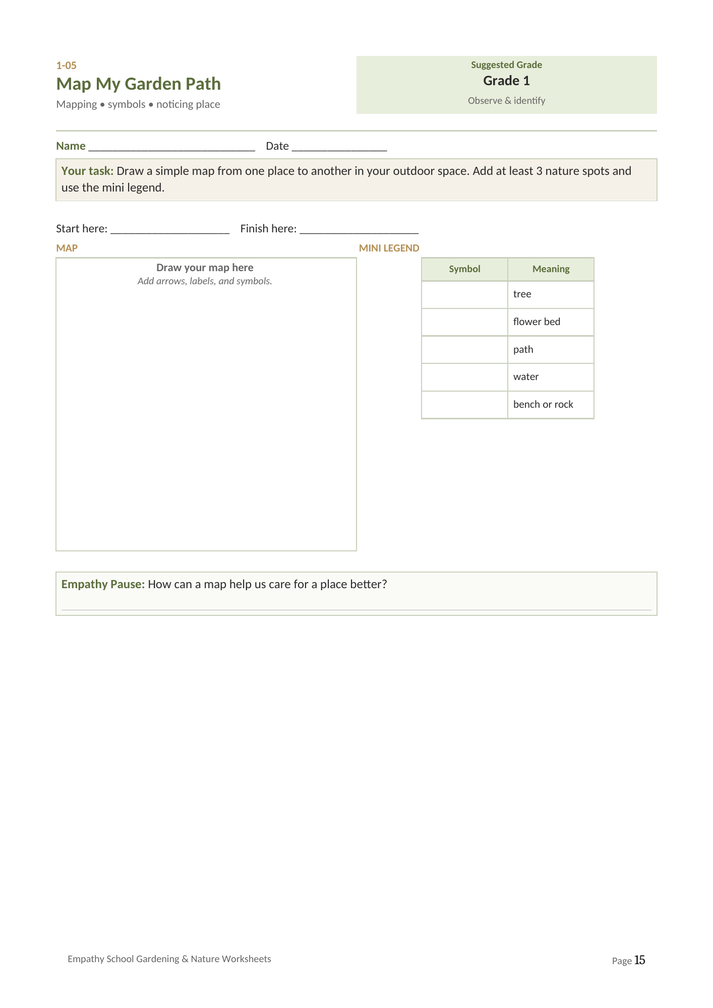
For the full social and emotional learning programme, see the Empathy Curriculum at empathy.kids.